


Long trails
Valea Ierii – Plopi – Muntele Rece Monastery – Cerc – Dobrin – Intersection with the road to Cerc – Lower Cerc – Valea Ierii
Recommended route for ATVs and 4x4 vehicles; a difficult trail for bicycles, recommended only for experienced riders with suitable bikes.
Length: 38 km
Estimated duration without stops: 2 hours
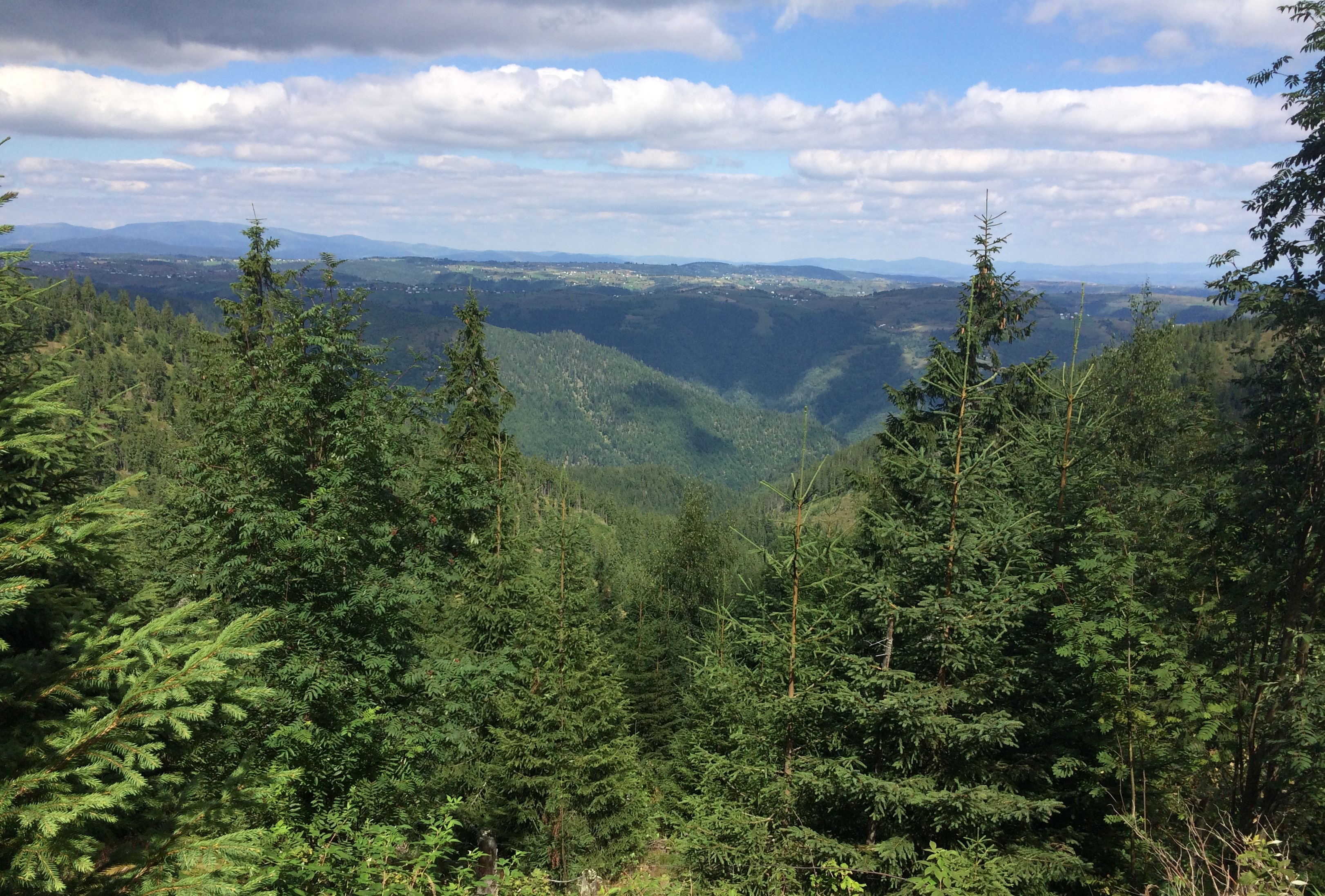
The route can be extended at the “intersection with the road to Cerc” by continuing on the variant: Întreiere – Tarnița – Valea Șoimului – Valea Ierii. This is one of the most spectacular trails, especially due to the scenic landscapes visible along the route, which follows the ridge of the hill.
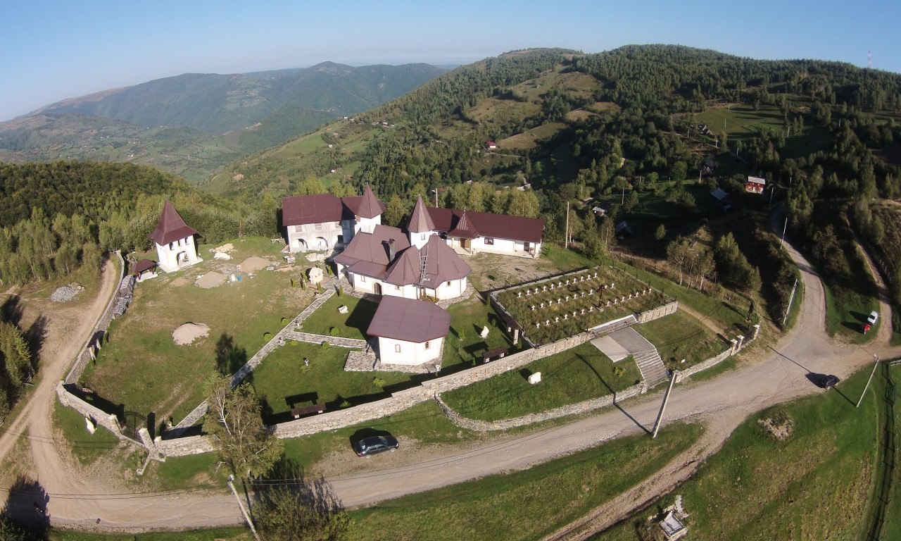
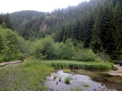
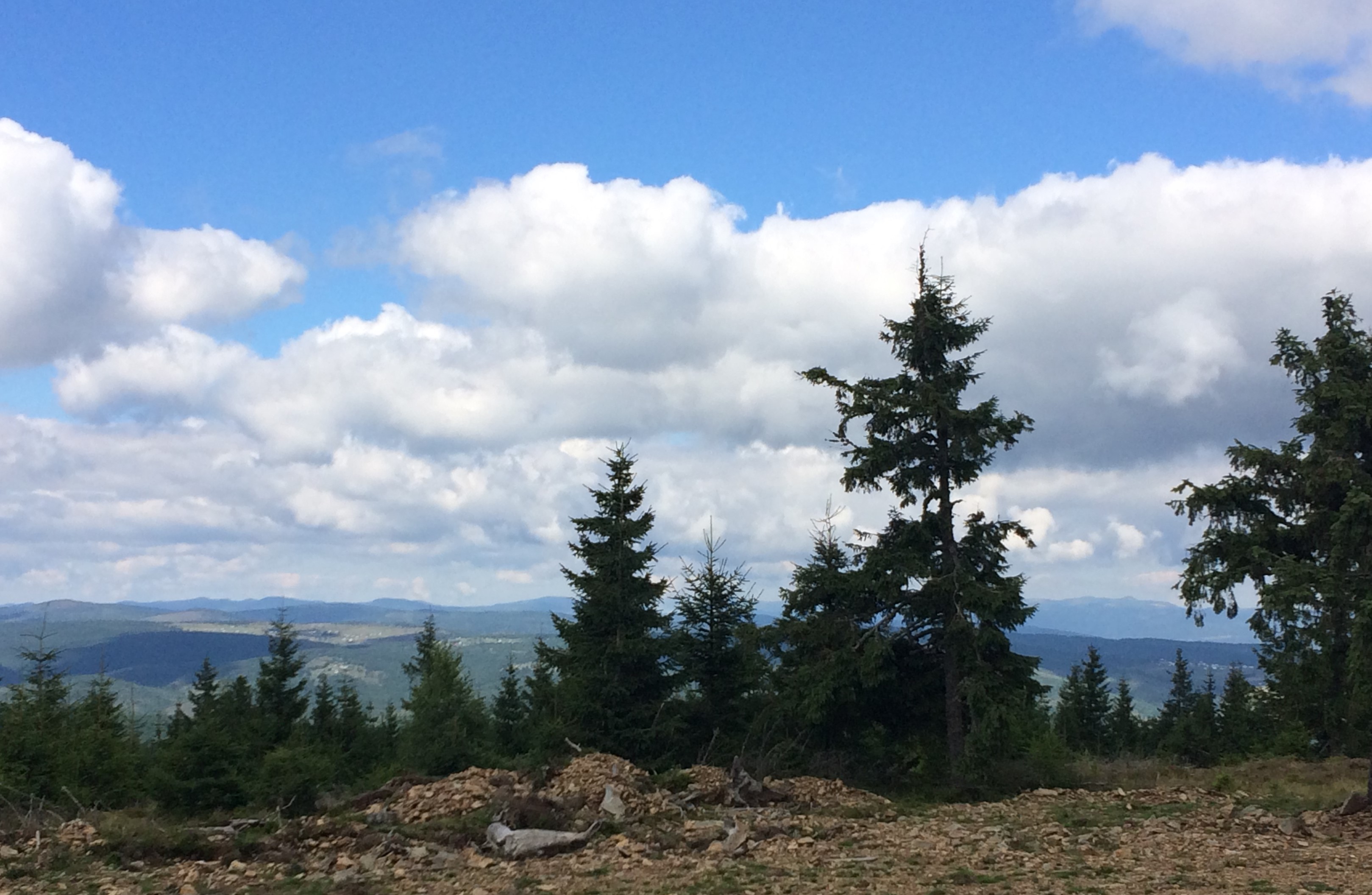
The route starts at the Tourist Information Center and continues toward Plopi, climbing steeply with switchbacks, but on a dirt road that is accessible by any car. After 4 km, you reach the Fersa plateau, which can be recognized by the stone-carved crosses along the roadside. From here, you can admire the view of Valea Ierii. On the right, the scattered houses of Plopi start to appear down the slope. After another 2 km, you arrive at Muntele Rece Monastery.
Right in front of the Monastery, there is an intersection. Take the road to the left, which is suitable only for ATVs and 4x4 vehicles. Do not attempt this section with other types of vehicles. It is also a challenging segment for cyclists.
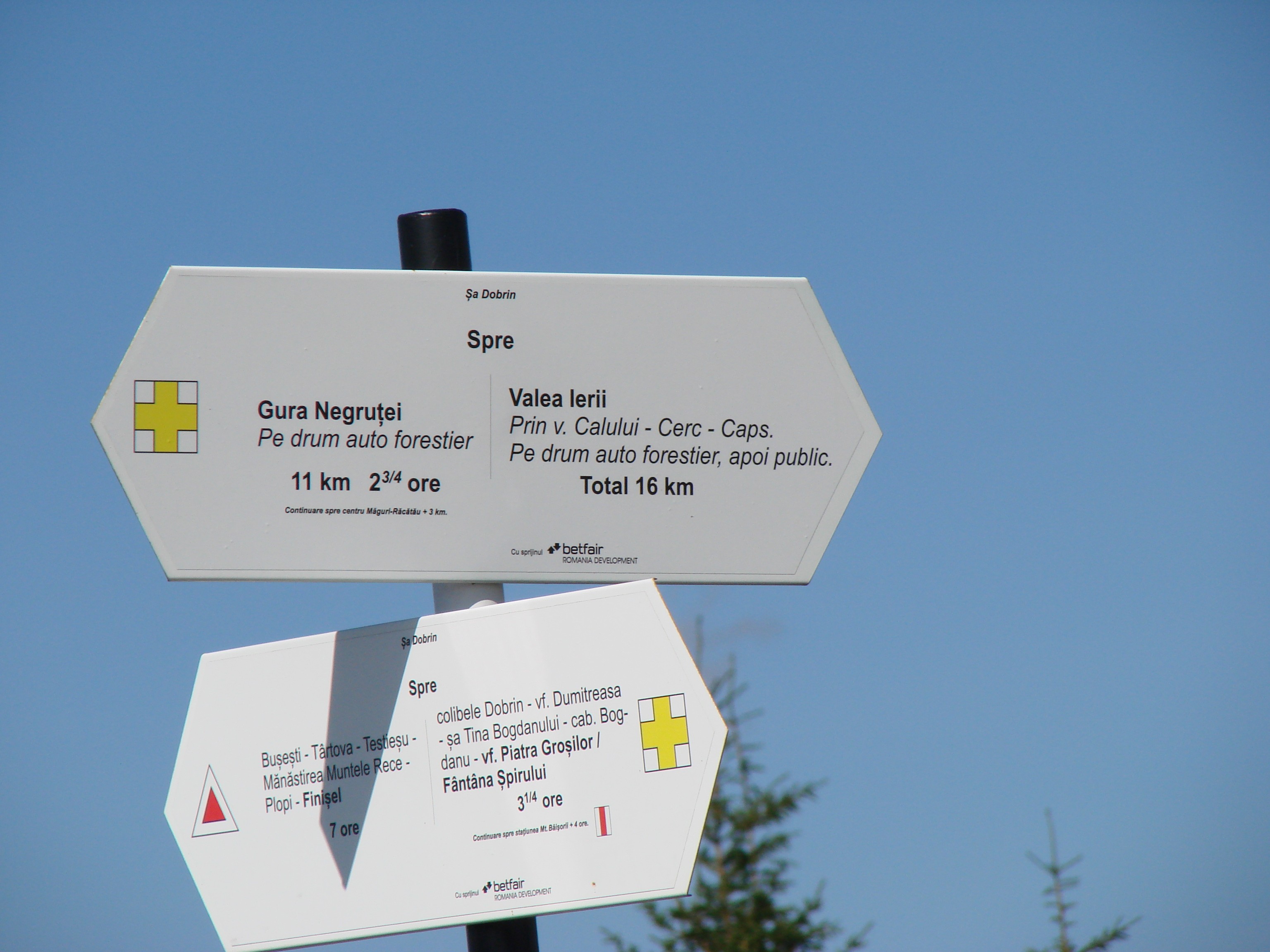
Plopi – Cerc – Dobrin Route
Recommended for ATVs and 4x4 vehicles; difficult for bicycles, recommended only for experienced riders with suitable bikes. This is an off-road section of a longer route.
Length: 13 km.
Duration: 50 minutes (see details from the Valea Ierii – Plopi – Muntele Rece Monastery – Upper Cerc – Dobrin – intersection with the road to Cerc – Lower Cerc – Valea Ierii route).
Route: Valea Ierii – Șoimu – Bondureasa Reservoir – Șesu Cald – Muntele Băișorii
Route recommended for ATVs and 4x4 vehicles.
Length: 45 km.
Approximate duration without stops: 4 hours.
ATTENTION! Before leaving, make sure you can complete the entire route.
2 km after the Bondureasa Reservoir, authorized logging operations begin. When work is being done, there is a danger of falling logs on the road. Get informed, and if work is taking place, do not attempt to pass.
The route follows the village of Valea Ierii. After leaving it, continue with the wide valley on the left and the forest on the right, until reaching Șoimu. At this point, you have completed 9 km. Another 8 km remain to reach the Bondureasa Reservoir.
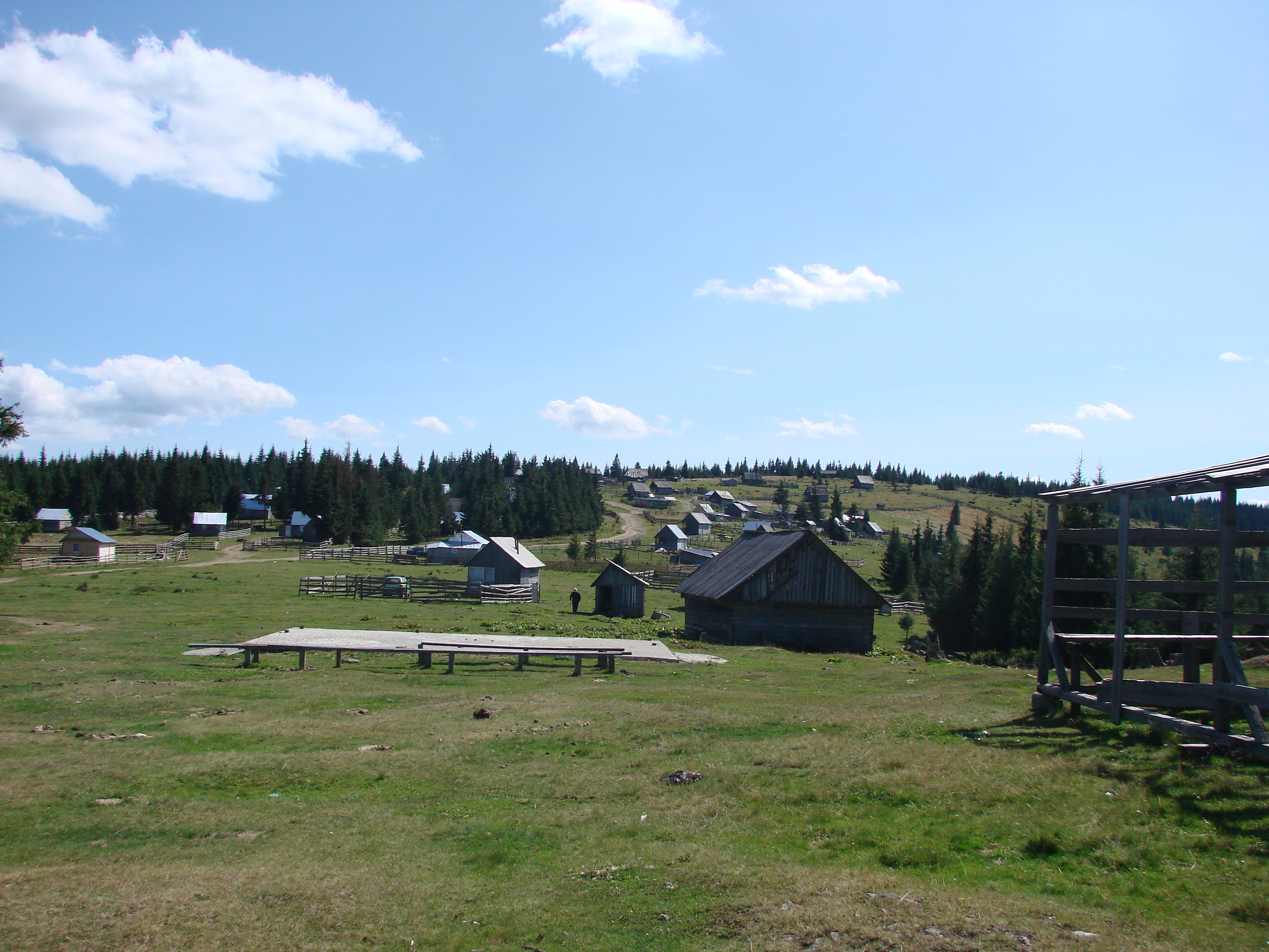
Throughout this section, you can see improvised shelters built by mushroom and berry pickers who come here in large numbers during summer.
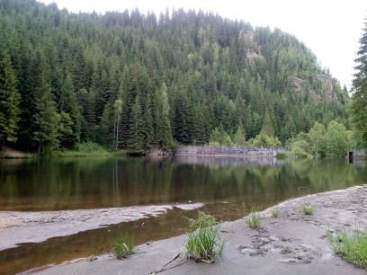
200 meters before the reservoir, on the right, you can see the opening of a cave. A little further ahead, on the left, there is a waterfall pouring into the valley.
The Bondureasa Reservoir is on the right. You can stop at the beginning of it. You will likely also see cars belonging to fishermen trying their luck in its waters. It is a small dam, accessible via steep wooden steps. Alternatively, you can go to its far end, where a road leads down to the "tail of the lake."
About one kilometer further, on the right, you can see a whirlpool under a former cabin, temporarily used by foresters and workers.
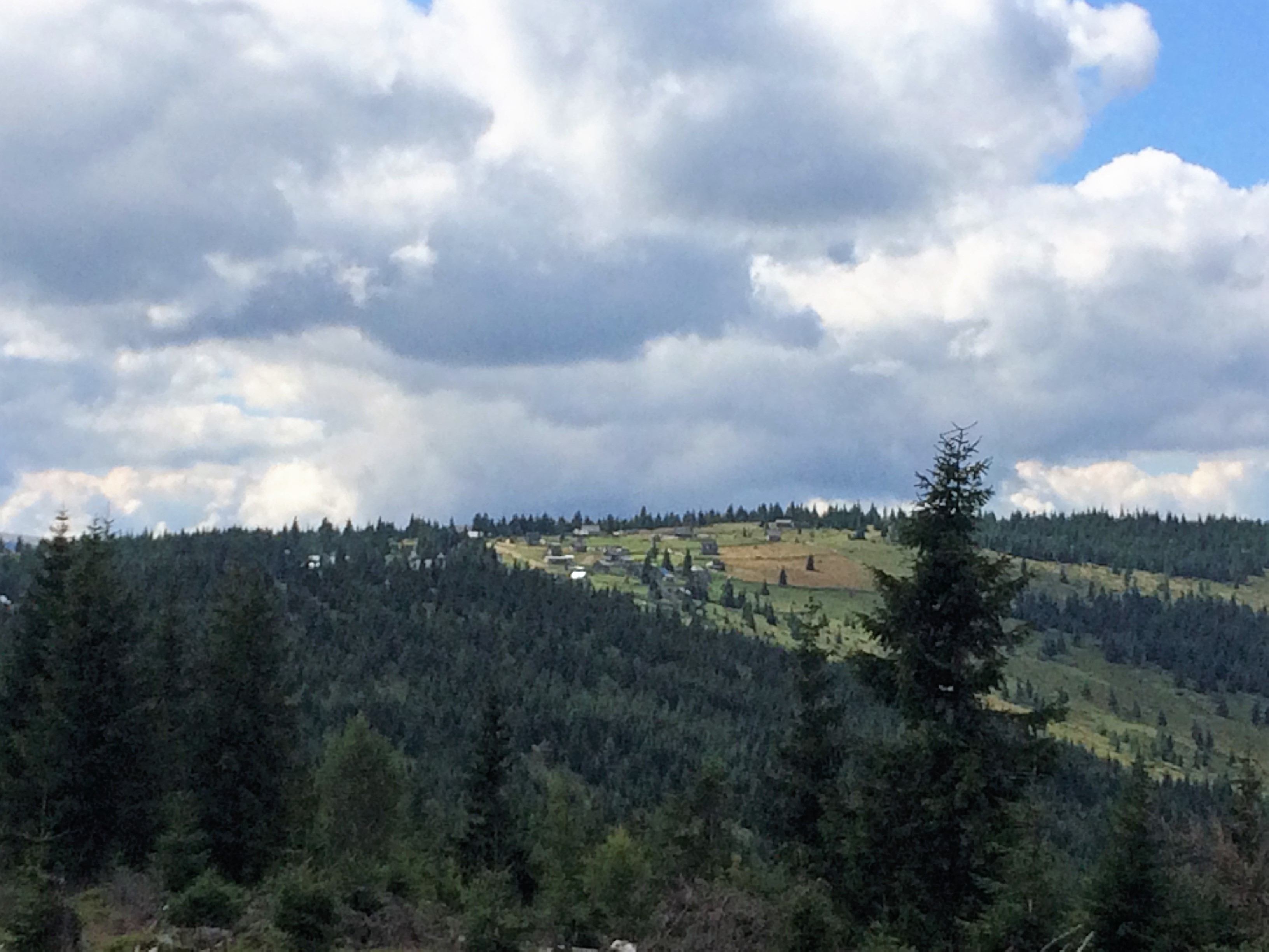
From here, continue on the forest road for another 18 km, then turn left. The road will take you about 8 km to the ski slope at Buscat, in Muntele Băișorii. It’s a great moment to visit this beautiful area.
Route: Valea Ierii – Șoimu – Tarnița – Întreiere – Dobrin
This route is mainly recommended for 4x4 vehicles due to the Tarnița – Întreiere section.
The segment Valea Ierii – Șoimu – Tarnița is accessible for all types of cars, bicycles, or on foot.
The Tarnița – Întreiere section is recommended to be done on foot. It is extremely difficult, even for ATVs.
Length: 26 km
Approximate duration without stops (by ATV): 1.5 hours
The route starts in Valea Ierii, crossing the entire village as described in the previous route, until Șoimu.
Immediately after the Red Cross building, turn right. On the left remains the road you came from and the former forestry cabin. The road has a very steep incline.
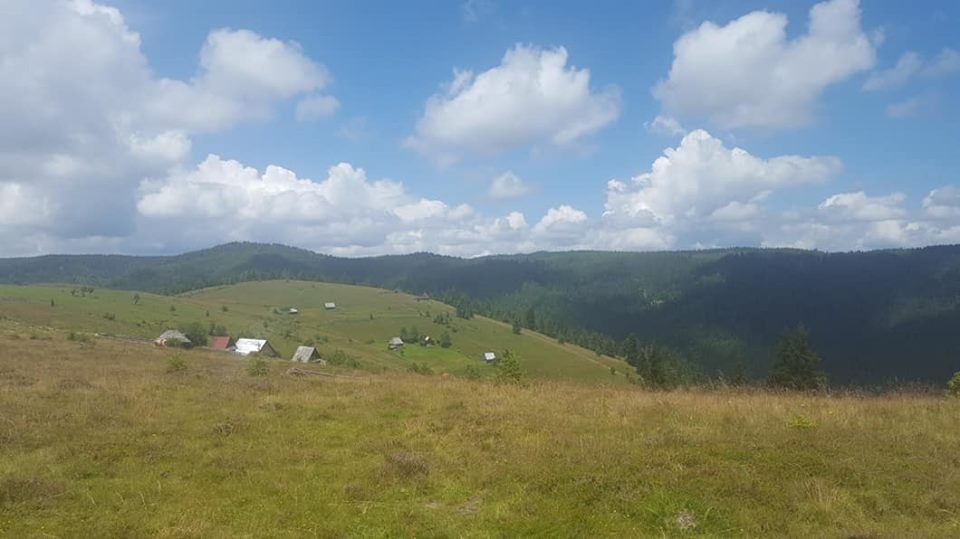
After one kilometer, you reach a plateau from where the houses of the Tarnița hamlet are visible. From here, it is preferable to continue the route on foot.
The road becomes very steep, and a wider 4x4 vehicle may not fit. It is extremely difficult even for ATVs.
The approximately 2 kilometers on foot are worth it, as the plateau at Întreiere offers a breathtaking view.
Route: Valea Ierii – Șoimu – Tină – Bistra
Route recommended for 4x4 vehicles and ATVs.
Difficult route for bicycles.
Length: 55 km
Approximate duration: 3.5 hours
The route follows the same paths as previous ones up to Șoimu. From there, continue straight ahead, passing by the Red Cross building and the former forestry cabin.
The road continues through the forest and soon becomes more challenging.
You have now entered the Natura 2000 Site Valea Ierii!
On both sides, you are surrounded by fir forests.
You will cross Muntele Mare, another section of the Natura 2000 site, and then arrive in Alba County and the village of Bistra.
Traseu Valea Ierii – Cerc – Dobrin
Traseu autovehicule 4x4, ATV-uri, biciclete. Lungime 28 km. Durată aproximativă fară oprire 1,5 h. Traseul urmează satul Valea Ierii până la intersecția cu satul Cerc. Se traversează satul Cerc și apoi se ține drumul spre Dobrin. Ajunși pe platoul Dobrin, lași în stânga satul și biserica , ieși de pe acest drum pietruit și o cotești la dreapta pe drumul de pământ. Mergi pe culme, pe dreapta o pădurice de rășinoase, pe stânga case răsfirate. Mergi vreo 2,5 km, după care drumul se desparte, unul o ia în dreapta spre Plopi, celălalt ușor stânga și incepe să coboare. Te va duce până în comuna Măguri Răcătău.
Valea Ierii – Cluj-Napoca
Valea Ierii is connected to the city of Cluj-Napoca via the county road Valea Ierii – Băișoara – Săvădisla – Luna de Sus and the national road E60 Florești – Cluj-Napoca.
This route has a length of 54 km and takes approximately 50 minutes by car.
Among the attractions of Cluj-Napoca are: the "Alexandru Borza" Botanical Garden, the Cluj Art Museum, the Ethnographic Museum of Transylvania, and the "Romulus Vuia" National Ethnographic Park, the "St. Michael" Roman Catholic Church, the Orthodox Metropolitan Cathedral "Dormition of the Mother of God", "Simion Bărnuțiu" Central Park, Cetățuia Park, and more.
Valea Ierii – Turda
Valea Ierii is connected to the city of Turda via the county road Valea Ierii – Băișoara – Iara – Buru – Cornești – Mihai Viteazu – Turda.
This route is 50 km long and takes approximately 50 minutes by car.
The city of Turda has many attractions and tourist sites.
The main tourist attraction of the city is the Turda Salt Mine, a true museum of salt mining, a modern recreation center, and a treatment facility.