


Short trails
Route: Valea Ierii – Plopi – Muntele Rece Monastery
The route can be traveled by any type of vehicle, by bicycle, or on foot.
The length is approximately 8 km, and the travel time by car is about 15 minutes.
See the details in the first long route description.
Route: Valea Ierii – Valea Negrii – Soci – Ghergheleu Peak – Huda Mică
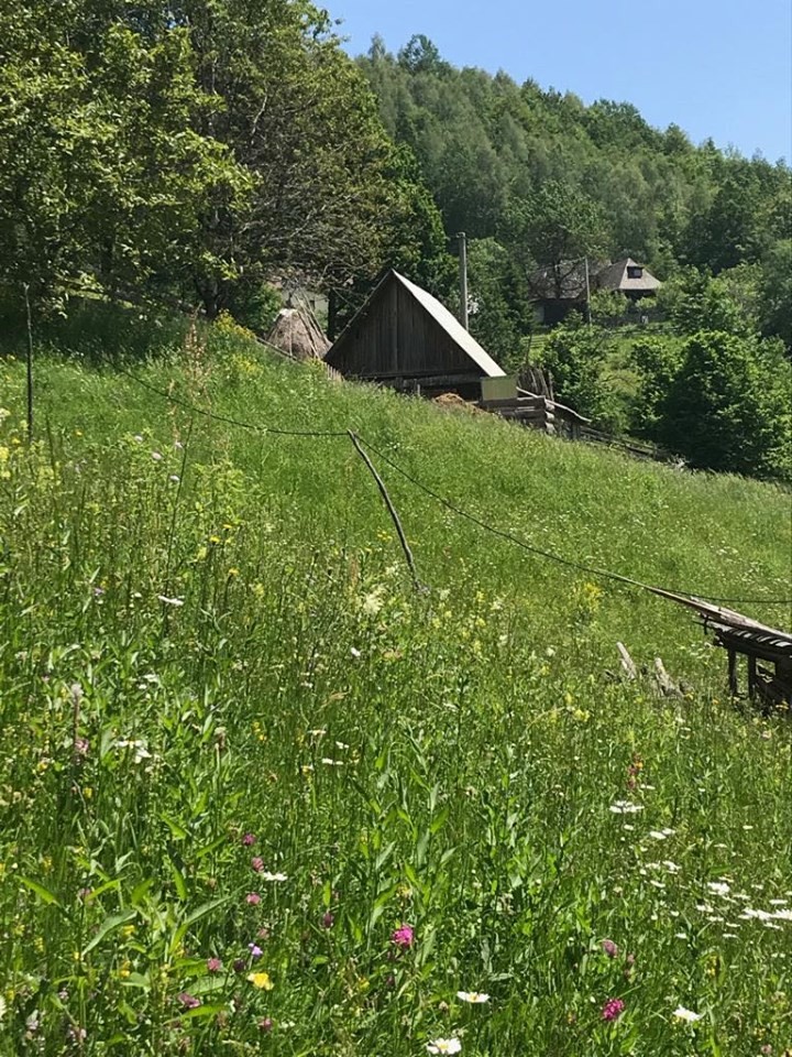
The route starts from Valea Ierii toward Cluj. After about 1 km, you leave the paved road and pass by Pensiunea Lara. From there, the route can only be done on foot.
It climbs through Valea Negrii, past the houses of the hamlet Soci. You cross the stream, then follow the old hunting trail that leads to Ghergheleu Peak.
There, you will see the ruins of old hunting observatories. The trail continues to Huda Mică.
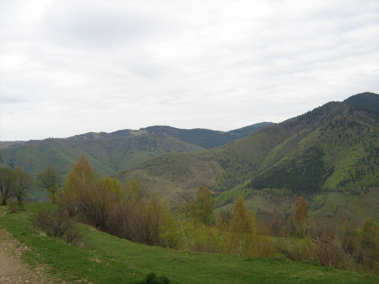
From Valea Negrii onward, the route passes through the Natura 2000 site "Valea Ierii".
The total length is 7 km, and the estimated duration is approximately 5.5 hours.
Route: Valea Ierii – Colțul cu Coarne – Colțul lui Dac – Plopi
This route is recommended only on foot. It is 3 km long, with an approximate duration of 5 hours without stops.
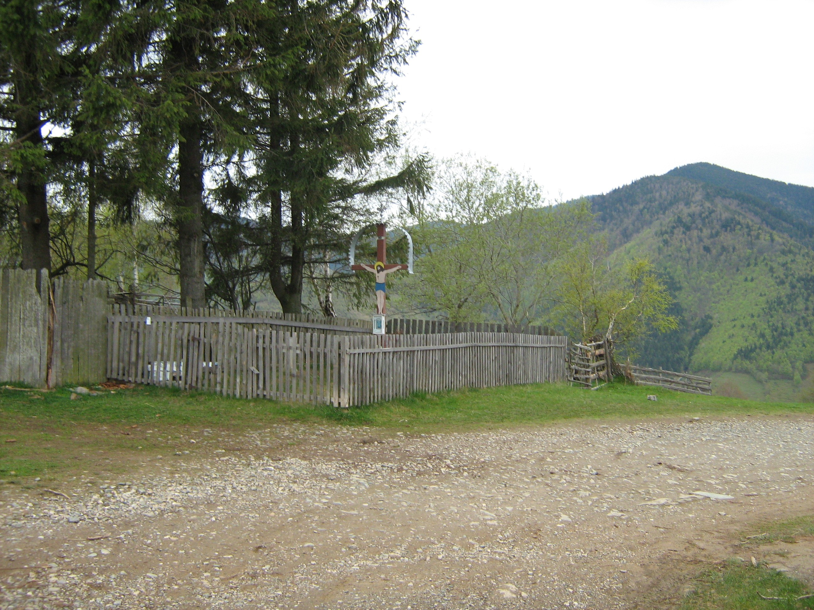
The route starts in Valea Ierii, near the Heroes' Monument, and climbs along the Prunilor Stream.
Be prepared for a steep ascent. The trail passes through a forest of pine, beech, and oak until a clearing opens up ahead.
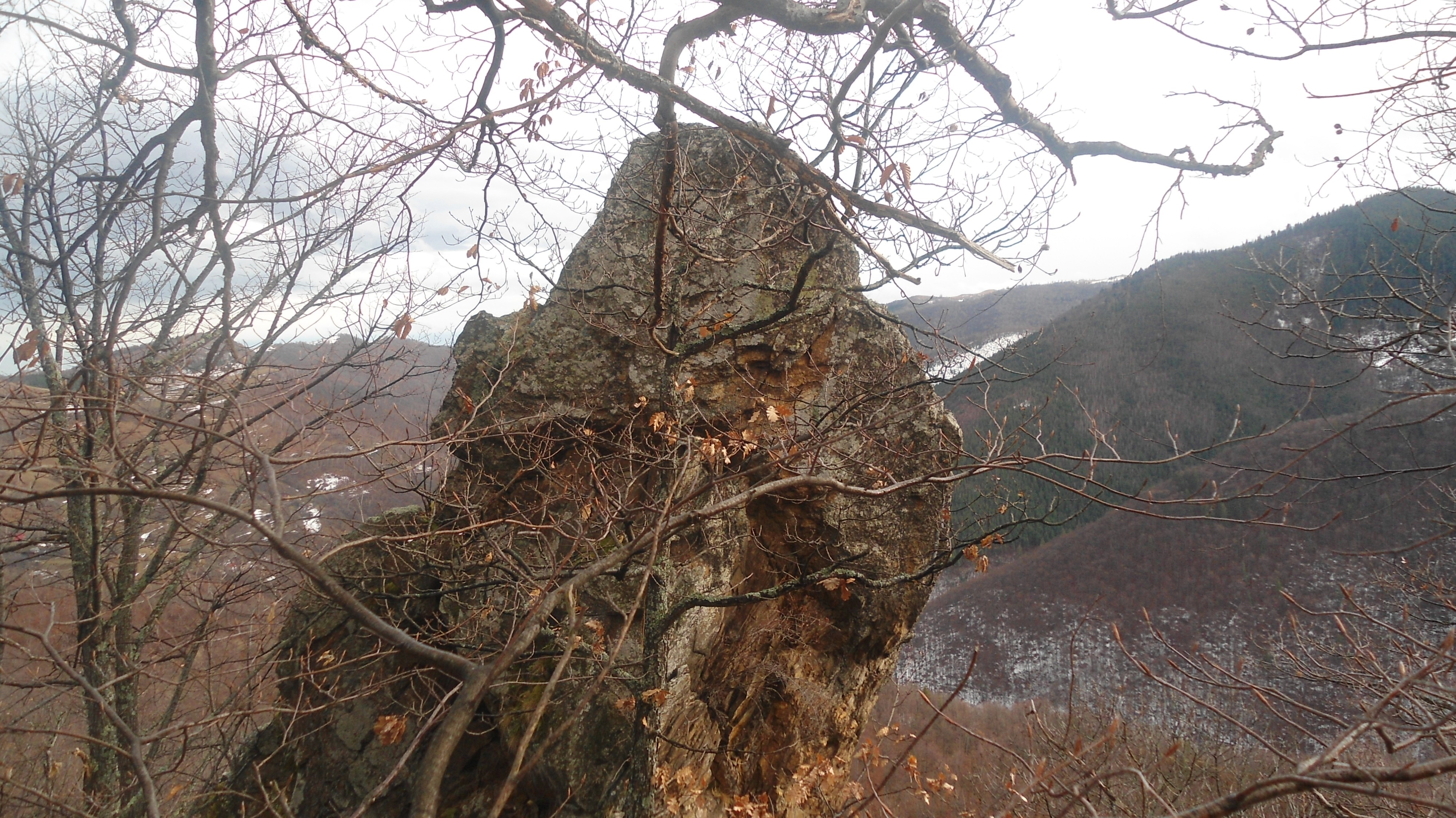
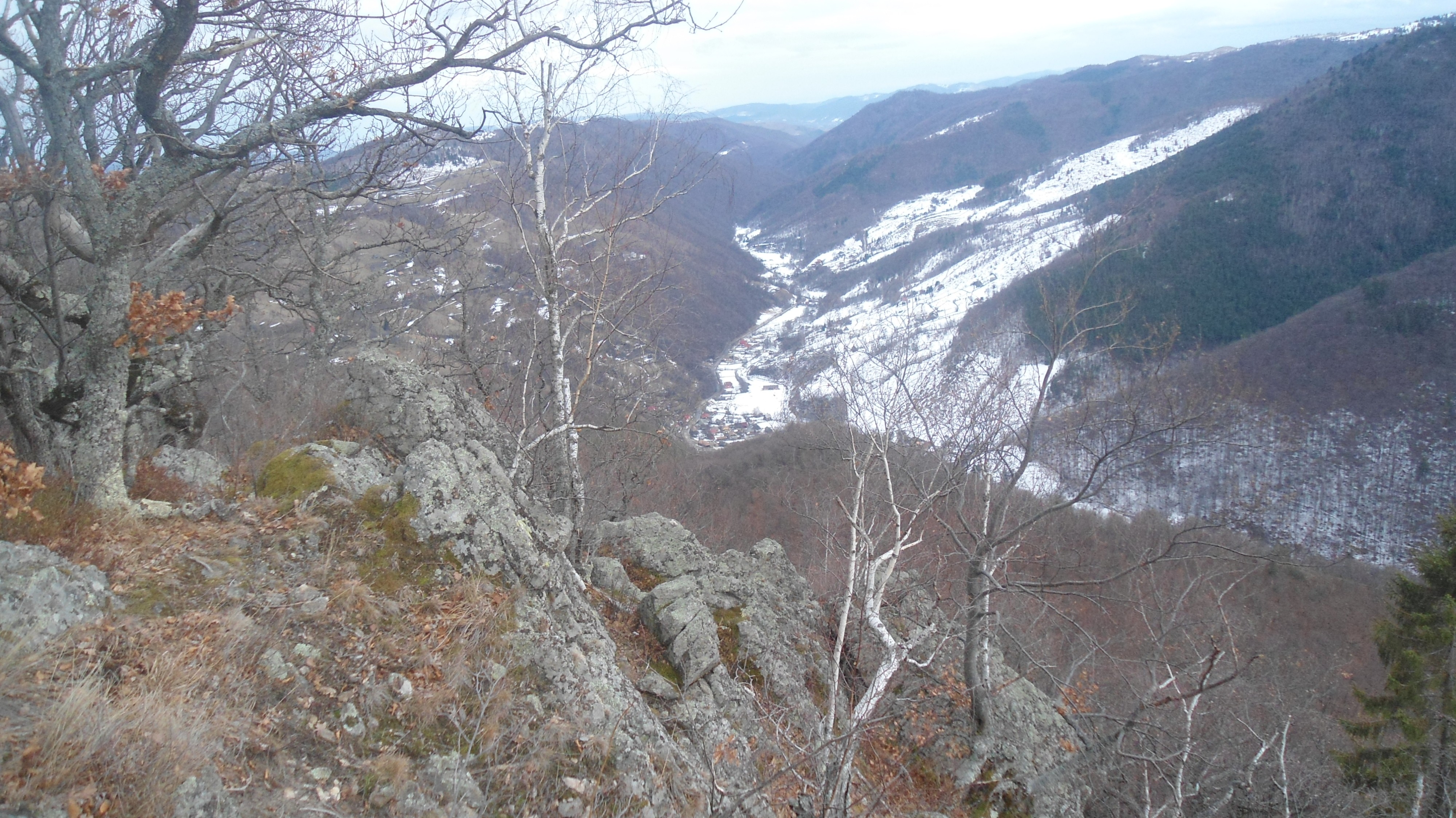
From the clearing, to reach the other slope, you must descend into the Iepei stream and then climb up the opposite side to Colțul cu Coarne, located in a meadow offering a panoramic view of Valea Ierii village. This part of the trail takes about 2 hours.
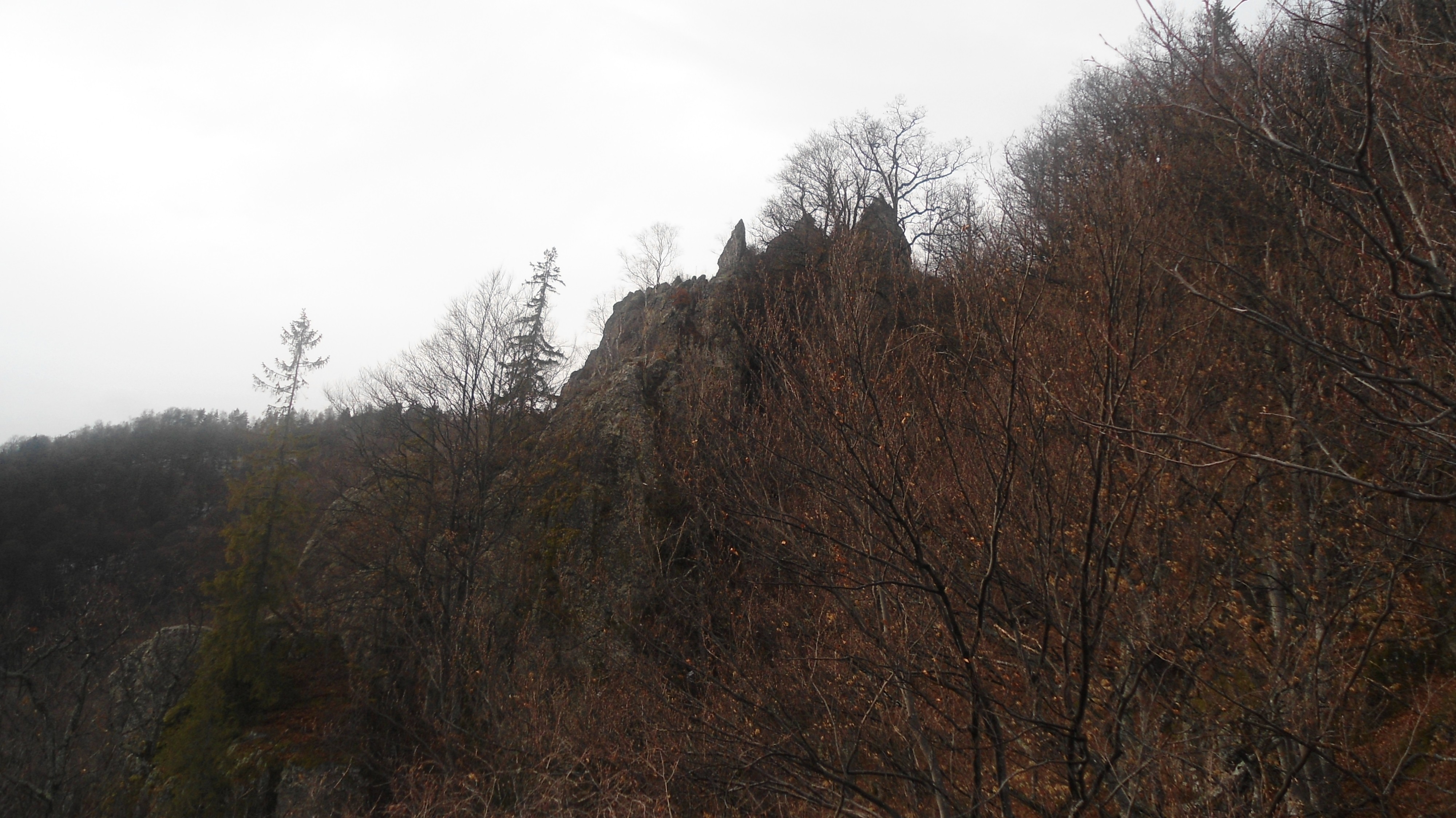
Continue climbing toward Colțul lui Dac, passing by other rock formations. The view from here is exceptionally beautiful and worth the effort.
You can see the entire village of Valea Ierii and even as far as Muntele Mare. From here, follow the path to the right along the ridge toward the village of Plopi, which you will reach in about 1.5 hours.
Route: Cerc – Întreiere – Tarnița
Mixed route. Cerc – Întreiere (7 km) is recommended for 4x4 vehicles, ATVs, and bicycles. Întreiere – Tarnița (2.5 km) is suitable only for ATVs, bicycles, or on foot — possibly for narrow 4x4 vehicles.
The total length is 9.5 km, and the estimated travel time without stops by ATV is about 45 minutes.
For those who start from the village of Cerc, the route begins with 3 km on the road toward Dobrin. Then, leave the gravel road and turn left. In less than 100 meters, turn right, continue for no more than another 100 meters, and turn left over a small wooden bridge. The road climbs toward the hamlet of Întreiere.
See details from the first long route.
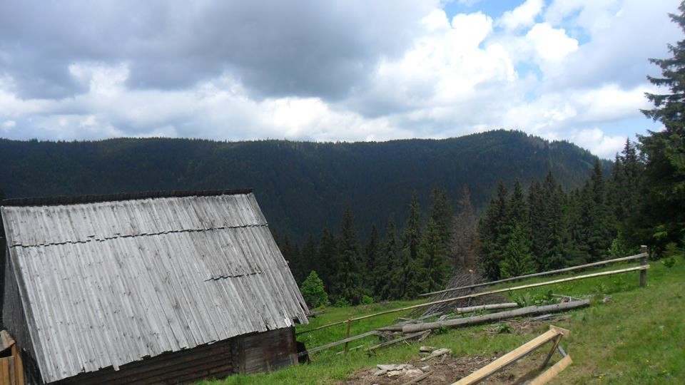
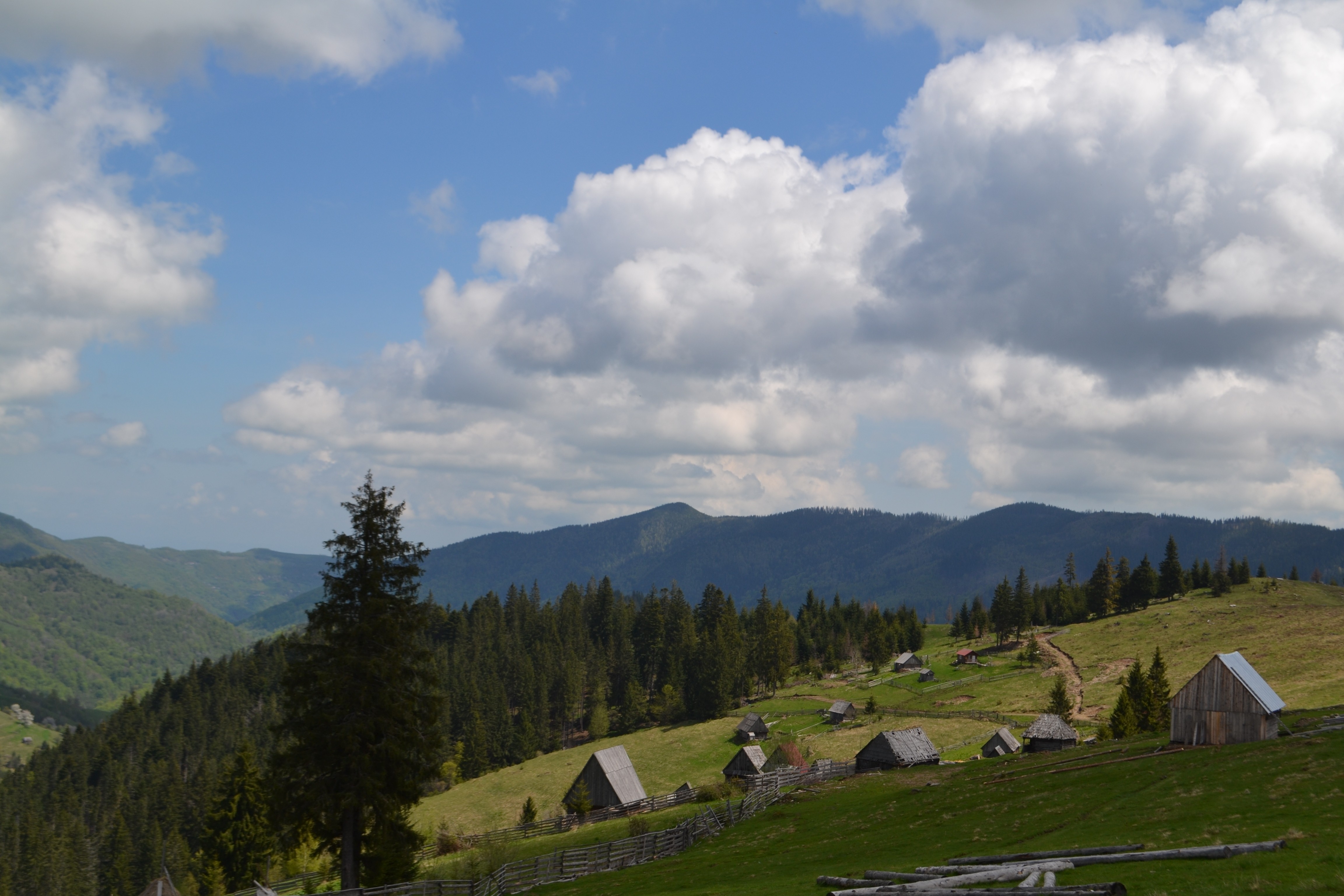
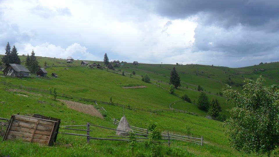
Route: Plopi – Runcu Irișorii
This route is recommended for walking, biking, ATVs, or 4x4 vehicles. The total length is 6 km, and the approximate driving time without stops is 45 minutes.
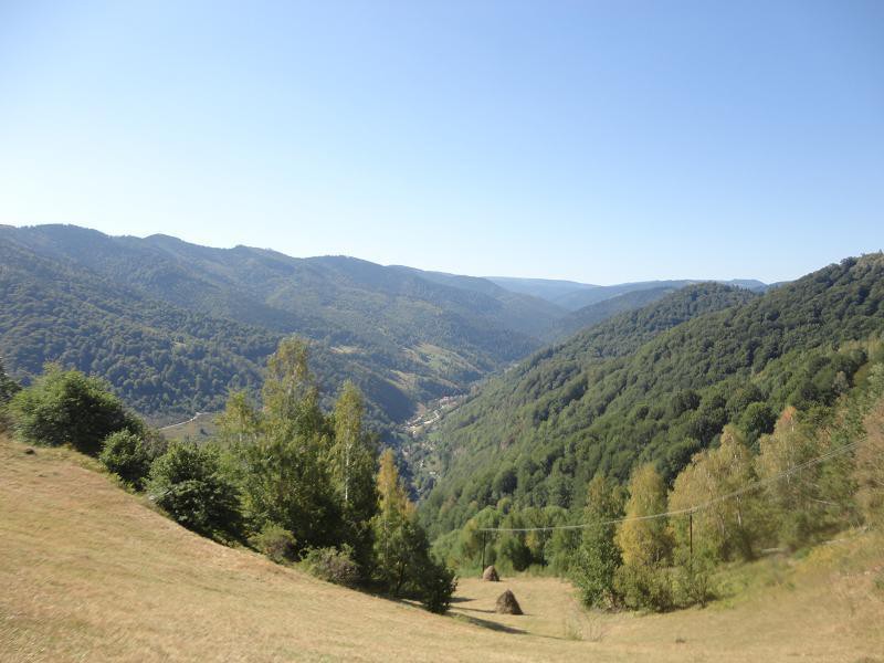
From the Fersa Plateau in the village of Plopi, continue 2 km to the Muntele Rece Monastery. Then, turn left onto a dirt road. Continue along the ridge; to the right and down the hill lies the village of Muntele Rece.
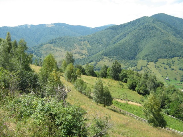
After 4 km, before reaching the hilltop houses of the villagers from Cerc, a small plateau opens up — Runcu Irișorii. On the right, you can see far into the distance, toward the village of Măguri, while on the left you have a view of the entire Valea Ierii and the scattered village of Cerc across the hills.
Route: Valea Ierii – Șoimu – Tarnița – Întreiere
The section from Valea Ierii to Șoimu to Tarnița is suitable for all types of vehicles, bicycles, or on foot.
The Tarnița – Întreiere part is recommended on foot only. It is extremely difficult even for ATVs.
This is a mixed route, with a total length of 13 km and an estimated duration of 1.5 hours.
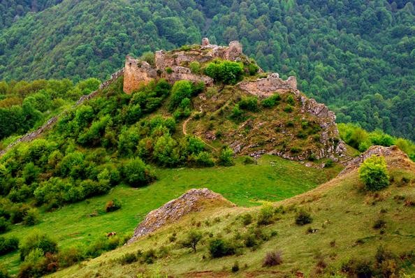
Route: Valea Ierii – Plopi – Ruins of Lita Fortress
Bike trail. Length: 12 km, approximate duration: 3 hours.
The route starts from Valea Ierii toward the village of Plopi. At the first cabins on the plateau, turn right, following the marked trail. It is ideal for a bike trip. The route crosses the hill ridge, going downhill and uphill, through clusters of birch trees, until reaching the Ruins of Lita Fortress.